Rehydrating the Blanco River Valley
Welcome to the Drought Proof Texas Blog! Today’s post is about the shocking drought conditions of the Blanco River. What is happening? Why is it happening? What people who live in this valley can do about it? Finally, will it ever flow again like it did in the past?
The Dry Blanco River
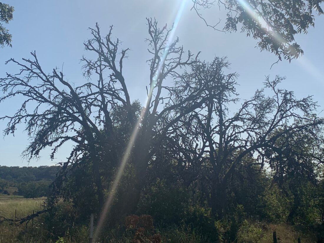
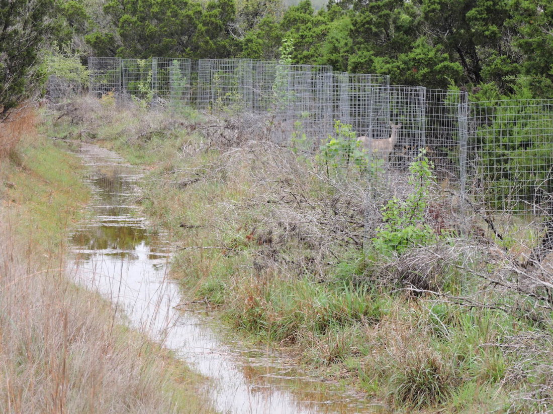
We’ve all heard the stories from the old timers in the valley. About how the river used to flow. What it used to be like when there was water, and how they fear that we’ll never experience this again. It’s happened gradually over time, year after year, a new stretch of river stops flowing. Old dams which had never gone dry reduced to mere puddles. Springs which always produced water abruptly stop flowing and never returned. The favorite swimming holes becoming shallow and murky or totally filled with boulders and gravel. Some areas are now referred to as “the dry Blanco River”.
It’s important to remind people that it was not always this way. It’s likely that folks who have lived here for 10 to 20 years may have never experienced the river in its full glory. It’s easy to forget, to assume that it’s always been like this, that this is “the new normal”.
What is Happening
We’ve all heard about and have experienced our springs going dry. This symptom is not isolated to the Blanco River valley, but the Hill Country at large. This includes some of the largest and most impressive springs in Texas, especially those that are close to the edge of the Edwards Plateau and those associated with the Edwards Aquifer. Jacobs Well in Wimberley, for example, has ceased to flow for the past several years. The decline of flow is directly attributed to development and over pumping of ground water. Even Barton Springs, Comal Springs, and San Marcos Springs at are dangerously low flows and local authorities are being forced to take the most extreme drought restrictions.
Imagine a system of tanks and underground pipes. As water is drained from the bottom of the tank (Austin/San Antonio), water levels higher in the system (Blanco) experience groundwater decline. Our landscape behaves in this way. Aquifer researchers call this a “cone of depression”. Heavy pumping in one area can cause groundwater decline in adjacent properties and sometimes even miles away. The result is that drainages higher up in the landscape dry out as population centers lower in the landscape remove groundwater. The systemic widespread over exploitation of groundwater results in desertification.
Why is this Happening
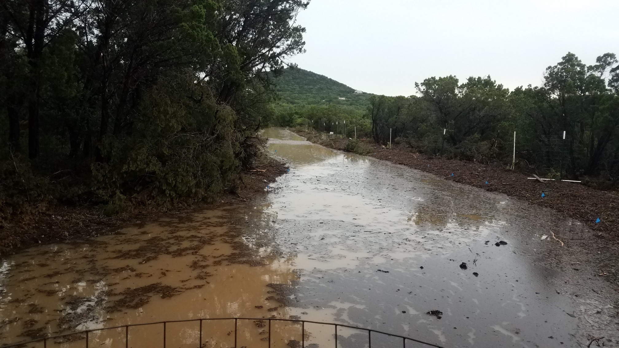
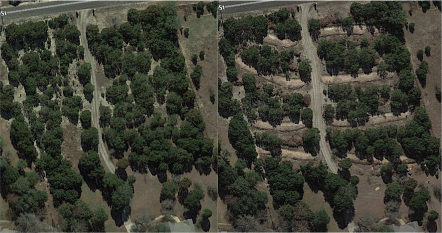
There is no doubt by any serious local water researcher that over pumping is the direct cause of this decline in spring flows. However, it’s not the only cause. Population growth has increased water demand past the carrying capacity of this landscape and at the peak of this growth we are also experiencing extreme drought conditions. When it does rain it often comes as a heavy deluge. During these flash flood events 70-75% of the rainfall is lost as stormwater runoff, leaving a wake of destruction and massive soil erosion. These conditions are common in the desert, and in places which are experiencing desertification.
The population growth, flood/drought cycle, and desertification are also exacerbated by our engineered infrastructure. Thousands of miles of roads and thousands of acres of developments worry the landscape with impervious cover and engineered drainage. During the floods, this engineered drainage speeds up the velocity of water flowing into the channelized creeks and prevents the landscape from absorbing the rainfall effectively. How can we possibly expect our river to continue flowing when most of the rainfall is immediately lost as runoff?
Centralized Solutions Spur Development
If you pay attention to the political talk on capitol hill about the Texas water situation, it becomes clear that they are looking for a centralized multibillion-dollar solution. Desalination plants, Mega dams, or 60 inch diameter pipelines running for hundreds of miles across the state and trampling the property rights of everyone in between. These are the same old gasping ideas that got us here in the first place. As I said before, we have exceeded the carrying capacity of the land without enhancing the capacity of the natural resource. Centralized solutions spur development. We saw this in Dripping Springs when the pipeline from Lake Travis came to town. Desalination plants will have the same result with massive industrial development while the rest of the landscape increasingly becomes a desert. Mega pipelines like the Vista Ridge Pipeline steal 50,000 acre feet of water per year from another aquifer so that San Antonio can continue its irresponsible growth. This sea of rooftops is encroaching on our Blanco valley as I write this today. None of these state government solutions will provide any positive outcome for the locals here in the Blanco valley.
There is also a lot of talk about changing the law on groundwater pumping to give the state more centralized control over water rights. This debate revolves around the “rule of capture” in which the groundwater below private property is considered the property of the landowner and the biggest pump always wins. I am sympathetic to the notion that we should regulate pumping, but it cannot be a complete solution if groundwater is not actively being replenished. People are going to continue moving here, the population is growing and those people will require water in some form. Pumping rights will just centralize into government hands where water will be doled out to developers for economic growth at the expense of our unique natural resources. Do these people have a track record of managing resources that is worth trusting? However, today, it’s almost a moot point since our groundwater resources are almost fully exploited. It won’t be long until these resources no longer produce water.
Decentralized Solutions Spur Accountability
In 1994 a well was drilled on our property that produced 20 gallons of water per minute, was 480 feet deep, and had a static water level at 250 feet. By 2019 that well had stopped producing water, showing a ground water decline of 250 feet in 25 years or 10 feet per year. The well was used for a single household with no landscaping irrigation. Faced with this, we had to make a choice about the future of water in our own lives. The ground water quality of this well was never very good. It was high in iron, calcium, and sulfur which was perpetually corroding our pipes and fixtures. It seemed like insanity to drill another well knowing that groundwater was declining rapidly and that quality would likely be poor.
The solution for us was rainwater collection. We were lucky to have a home and workshop with simple roof lines which made installation of gutters and conveyance pipes easy. Over the next few years we have accumulated 50,000 gallons of storage capacity. This may sound like a lot, but it’s really just enough. It’s important to have extra storage capacity to catch the big rains that will carry the household through the long drought. All new homes in our valley can and should be designed with water harvesting at the forefront. It’s most common to have above ground tanks, but I’ve also seen very clever underground tanks which are placed beneath large front or back porches. This can be handy when space is limited or if the homeowner doesn’t want to see the tank in the landscape.
Rainwater collection provides better water quality for inside the home. There is no lime scale buildup on household fixtures, and appliances like water heaters and dishwashers last longer and have better performance. There is no need to have a water softener or to buy softener salt. Homeowners with rainwater collection systems are much more attentive to the weather, more conservative with water, have tighter leak free plumbing systems, and are generally much more attuned to wasteful water usage. A home rainwater operator is accountable for their own water supply and monitors it closely. If the Blanco River valley occupants take responsibility for their own resources, there should be no need for centralized water systems. Anyone advocating for water centralization in our valley can be instantly dismissed as a development profiteer looking to exploit our landscape for a quick buck. These people don’t stick around very long and usually skip town to prey on the next small community. These hills have eyes, and they are watching!
Runoff Accountability in the Landscape
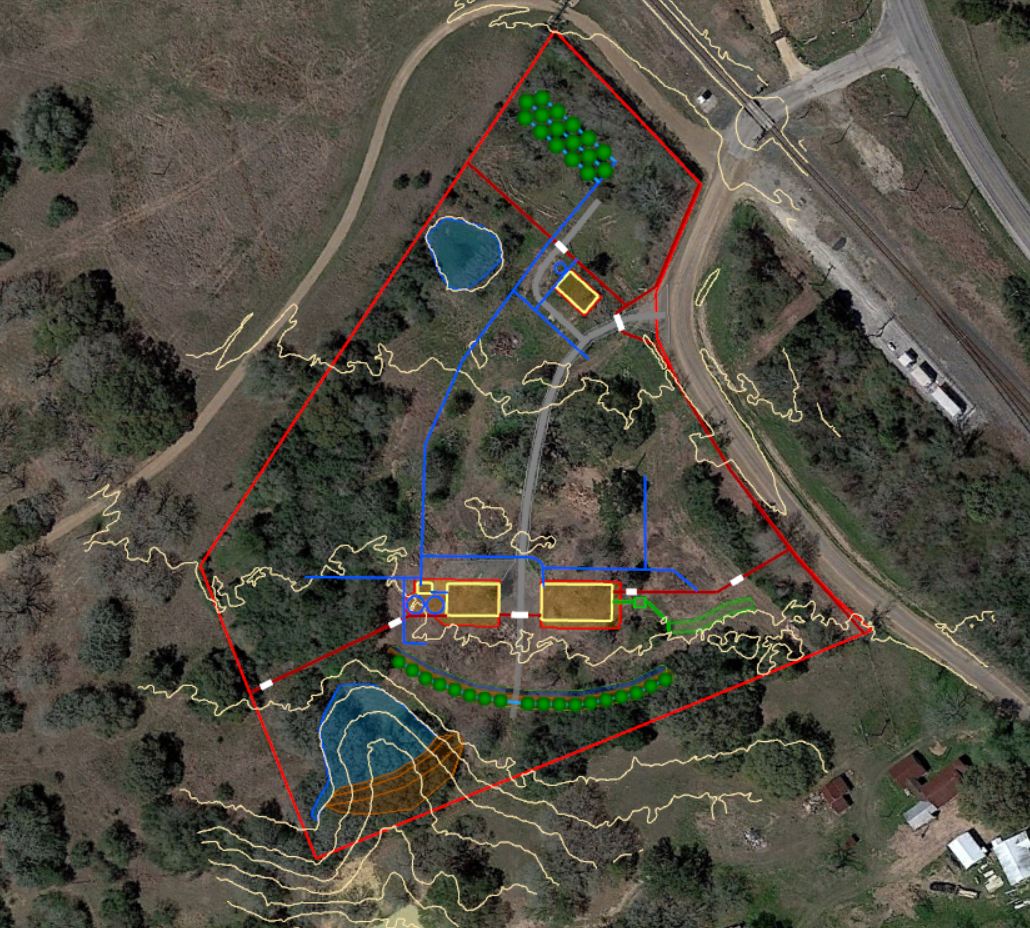
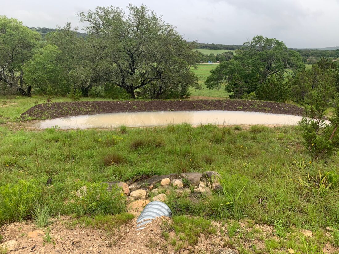
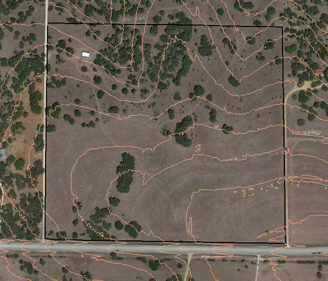
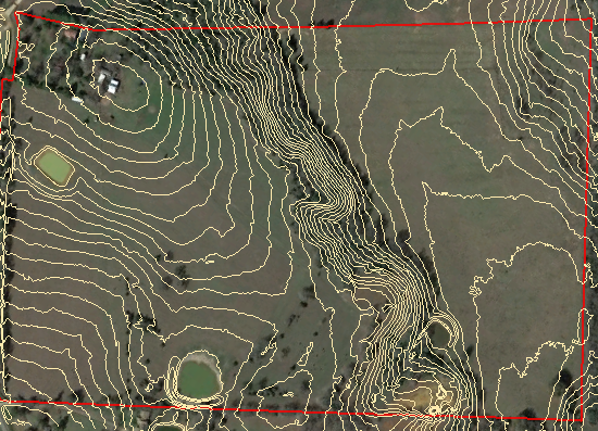
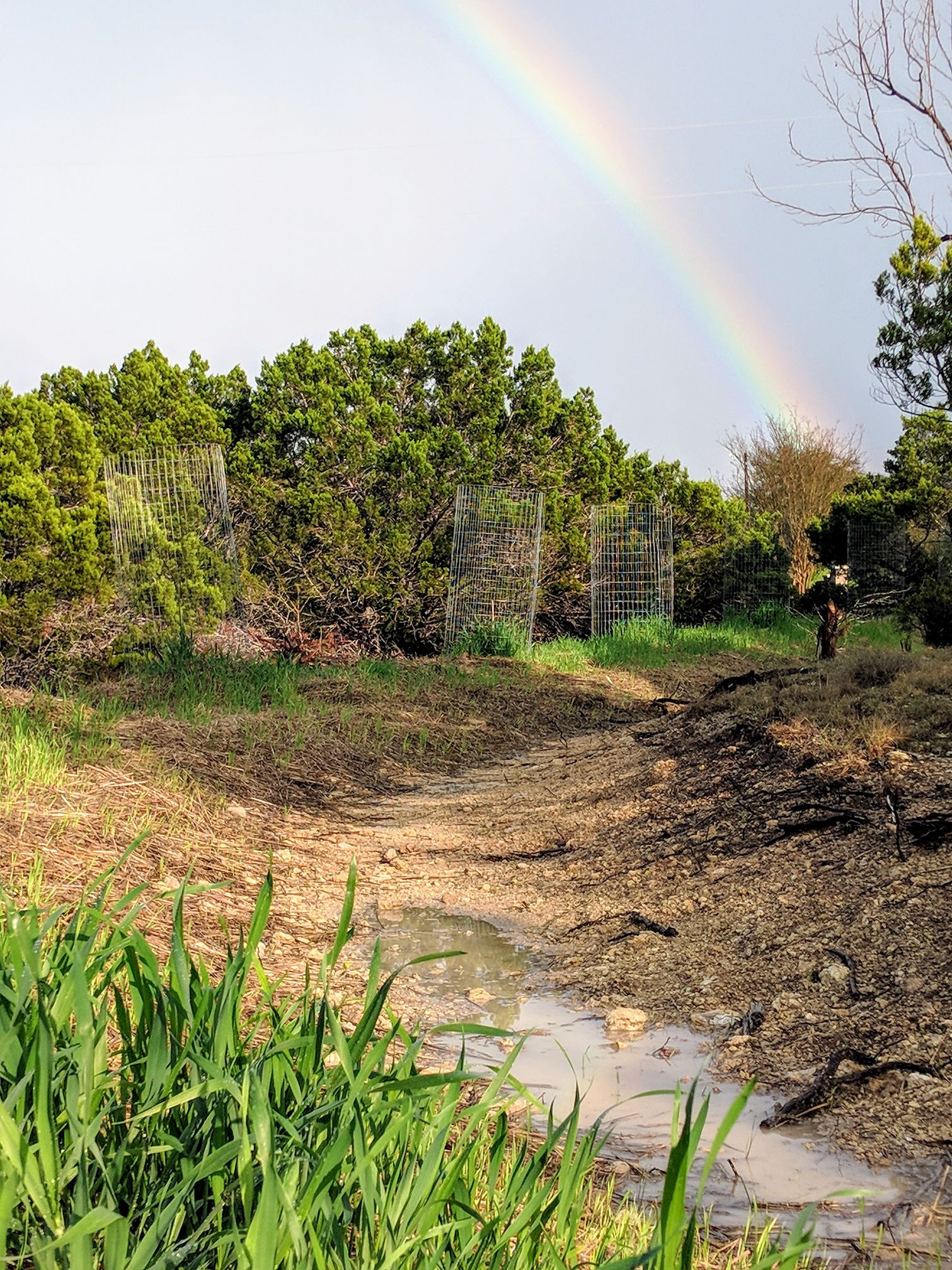
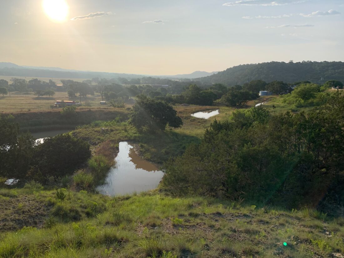
During the 2015 Memorial Day flood it was estimated that 70-75% of the water that fell in the Blanco valley was lost as stormwater runoff. We have somewhere around 72,000 acres of land that drains into the Blanco River west of highway 281. If we had an average of 12 inches of rain on Memorial Day on 72,000 acres, that’s 72,000 acre feet of water. Our landscape only absorbed 18,000 acre feet. What if we could absorb one more inch of that rain or if we could reduce the runoff by 5%? Would another 3,600 acre feet of water absorbed by the landscape keep the river flowing for another year longer after the flood? I know this is possible because we have virtually eliminated the possibility for runoff in many areas of our property here in the upper reaches of the Blanco River. There are opportunities for stormwater capture everywhere.
At the confluence of Cypress Creek and the Blanco River in Wimberley the catchment area of the valley grows to over 220,000 acres. You do the math. Can we add 10,000 acre feet of groundwater recharge to this valley in the coming floods? Harvesting stormwater not only drought proofs the valley, mitigates damages from future floods, but could provide precious life saving time for evacuations during flash flood events.
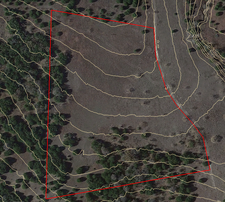
Using the landscape as a canvas for water harvesting can recharge local groundwaters, pressurize seep springs, increase agricultural productivity, protect our oak forests from desertification, and increase the quality of life for all living things in the valley. The most obvious place to start is around our homes and our roads. Walk around the land after a rain and look for places where water is moving. You don’t have to do anything immediately, just observe and imagine ways to make that water disappear into the soil or divert that water back into the landscape for the grass and forest to absorb. It’s simple accountability that brings about responsibility for the runoff created by homes and residential driveways.
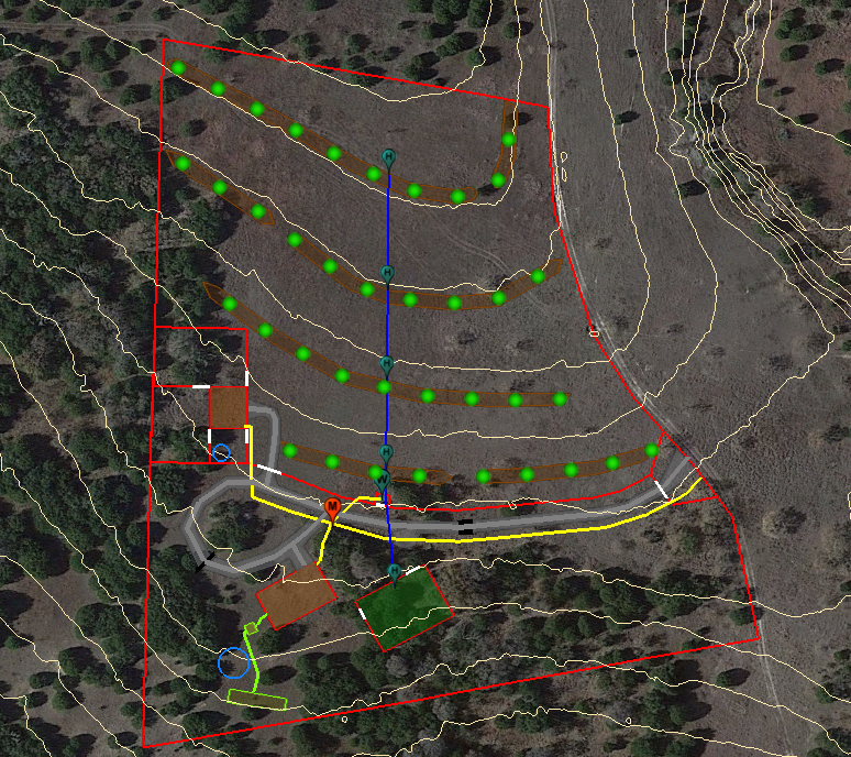
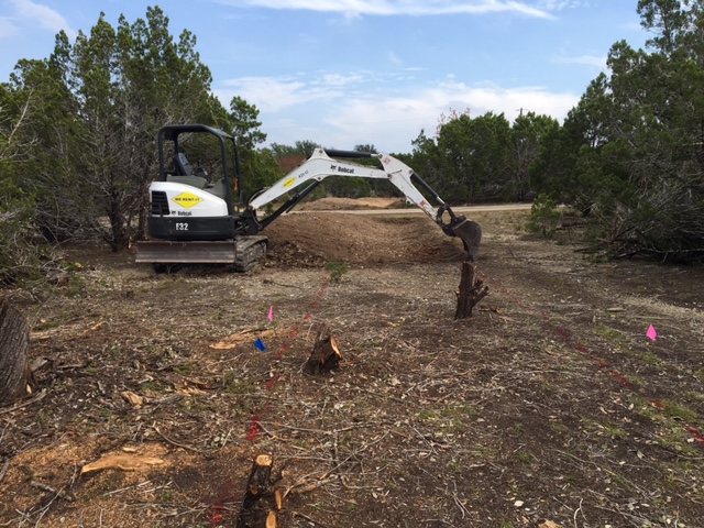
In the broader landscape there are more opportunities for water harvesting in upland drainages or around agricultural fields. The idea is to slow, spread, sink and store water into the soil before it can exit the property as stormwater runoff. Get creative. Have a pile of old logs and stumps? These can be organized into lines on contour or made into manmade “beaver dams” in the upland drainages where water flow is manageable. Do you have a bunch of rocks laying around? These can be cleaned up and organized into lines that are perpendicular to the flow of water. Put the rocks to work for you and clean up the land at the same time. Now you are stacking functions and improving the land, there is nothing more enjoyable!
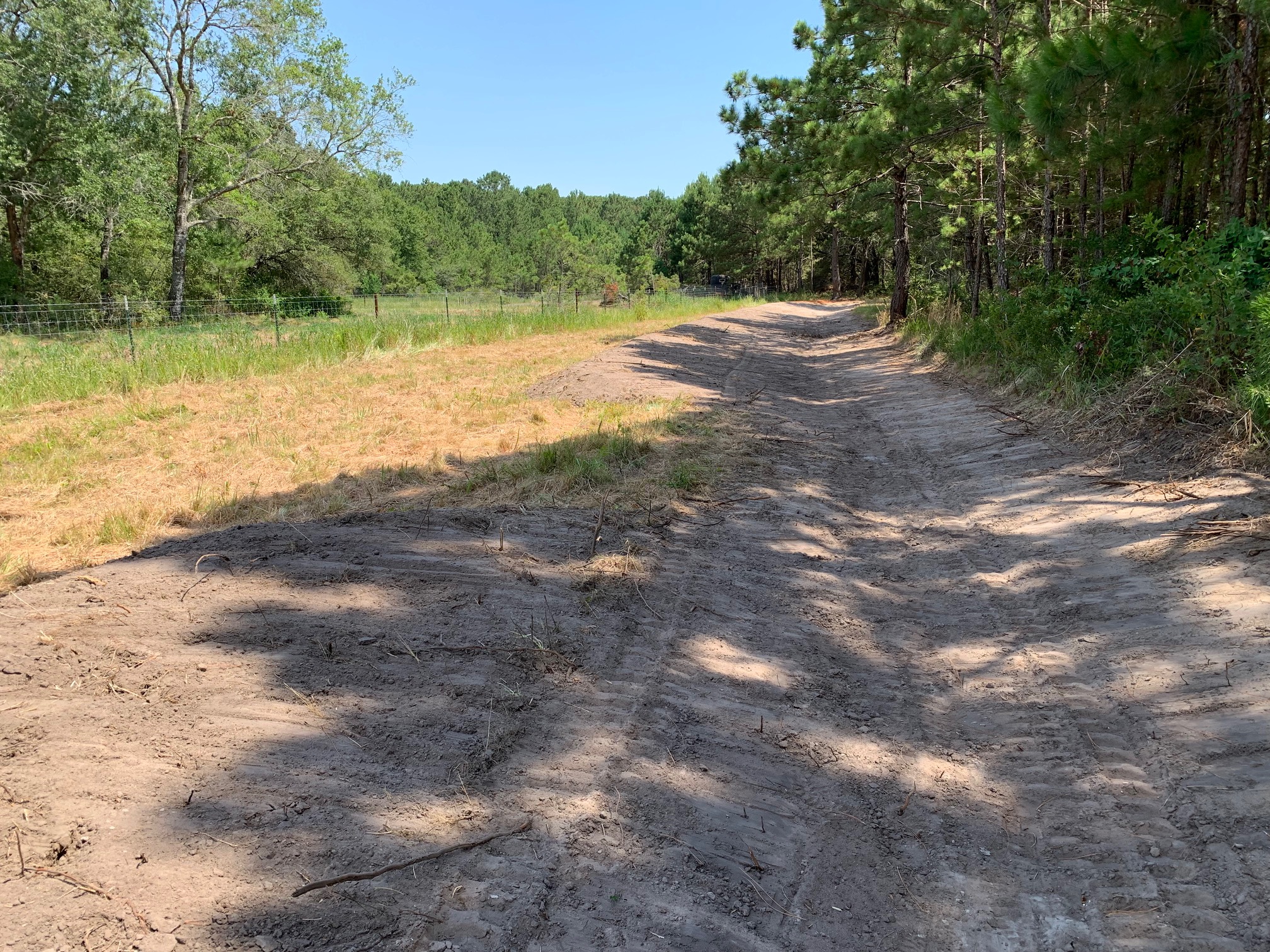
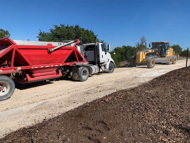
If it’s appropriate, earthworks can be done to harvest water. Small dams and level terraces can be very effective at making stormwater disappear into the soil. Berms can be built on shallow gradients to divert water from around critical infrastructure and into ponds. Even roads can be designed and built to manage and harvest stormwater runoff. Most of the time we are so focused on drainage around our infrastructure that we forget to take accountability for that runoff later on. However, this is the responsible and environmentally friendly thing to do.
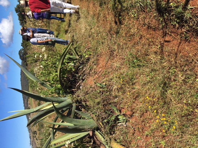
An often overlooked and underappreciated opportunity for water harvesting is good old fashioned ground cover. When a raindrop hits the bare ground, you can see it change colors immediately. That’s called erosion and it happens as soon as the rain hits the ground. If the raindrop falls on a good stand of native grasses or even a tightly canopied forest, the ground is protected. Water slows down and is more likely to soak into the soil. Establishing tight ground cover when we are farming, grazing, or just managing for wildlife protects our topsoil’s ability to capture stormwater runoff and Texas sized raindrops. Bare soil is public enemy number one!
The Future of Water in the Blanco Valley
Will the Blanco River still flow in 10 or 20 years from now? It’s really up to the community. The people in this valley have to decide that it will and work towards that goal. It will be done with the thoughtful design of our homes, our roads, our landscapes, and our agricultural operations. It will be done with a steady and persistent dedication year after year. The key is voluntary land stewardship guided by the unique context and conditions of the landscape and our own creative minds. A culture of conservation of natural resources leads to a heritage deeply rooted in health, wealth, and family.
The long-term effects of effective resource management are compounding. With every flash flood we can bank another 5-6 years of water into the soil that carries us through the drought. Eventually when the soils are recharged with water that was normally lost in the past, springs will flow constantly. With water seeping out of the bottom of the hills every 100 feet or so, held up by a fortified water table, the river will flow year-round. When our ancestors came to this place it was an oasis of crystalline waters, lush prairies, productive forests, and rich in game. They made this their home not knowing how difficult the weather patterns could be or how quickly resources could be exhausted. Now we know and we have the opportunity to create a legacy to be remembered for:
The return of a river, and stewardship of a veritable paradise bounded by green hills and luxuriant meadows.