January 10, 2022
In
Flood Proofing the Texas Hill Country
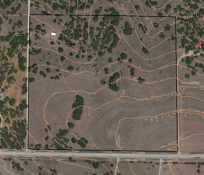
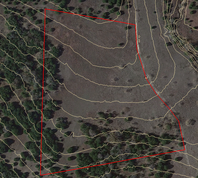
What Makes a Great Ranch Road?
Anyone can appreciate a well-made road. But what does it take to accomplish this? How can you avoid costly design and construction mistakes? What are the consequences of a poorly made road? What are the effects of low-quality ranch roads on the property value and...