September 6, 2020
In
Business
By
Pete Van Dyck
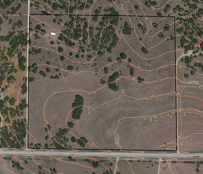
LIDAR contour lines at 2 foot intervals.
Successful Texas property design starts before the land is purchased and with Texas Topography Maps. For information about property selection visit my blog post here.
Today, there are thousands of people moving out of the cities. They are migrating across state lines...
August 29, 2020
In
Business
By
Pete Van Dyck
Successful Texas property design starts before the land is purchased. For information about property selection visit my blog post here
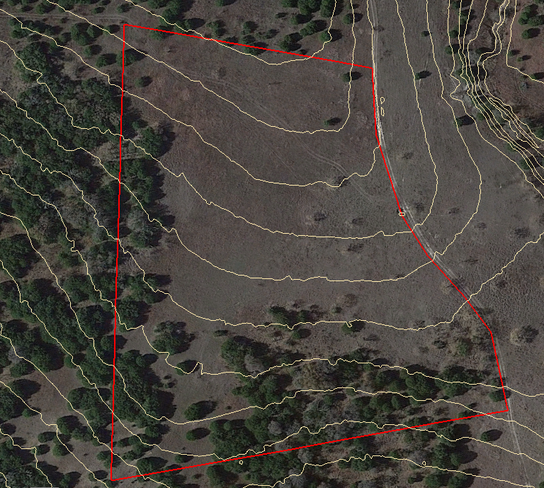
[caption id="attachment_21933" align="aligncenter" width="774"] Texas Property Design over satellite imagery[/caption]
Designing a resilient landscape is a tough challenge. Every property is different and every client has different skills,...
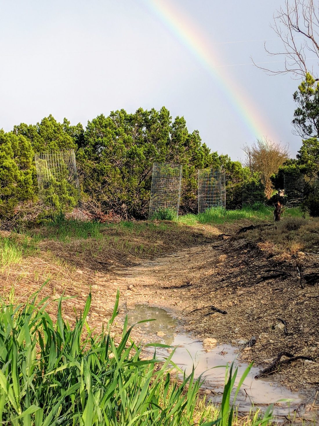
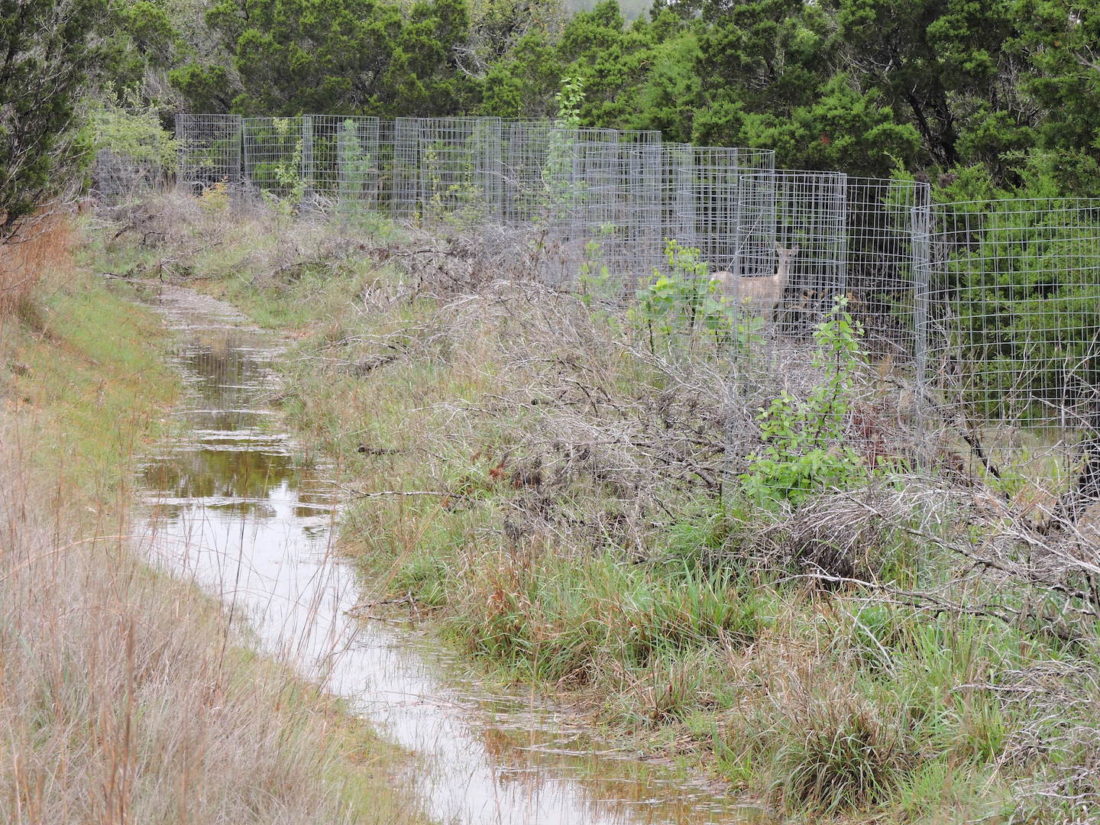
All of us who live in the Texas hill country are well acquainted with the Ashe juniper and its challenges for land conservation. This blog post is about a land restoration project on a degraded caliche hillside. I'll show all the steps of what we...
I was very honored to have one of my projects at Little Barton Creek Preserve featured on the blog of Texas Living Waters organization recently. I love their moto "Fresh water, forever.".
Texas Living Waters is a collaboration of conservation groups working to ensure fresh water...


